INSPECTION
Visual and thermal
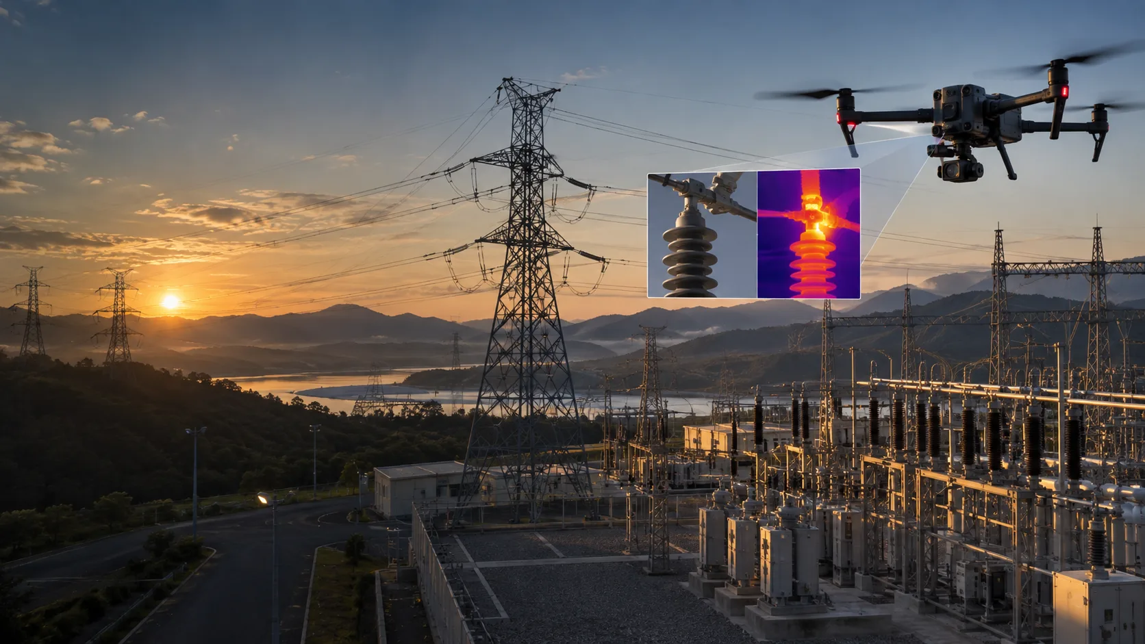
Technical records of structures, façades, roofs, power lines, substations, solar plants and hard-to-reach locations.
Request an inspection assessment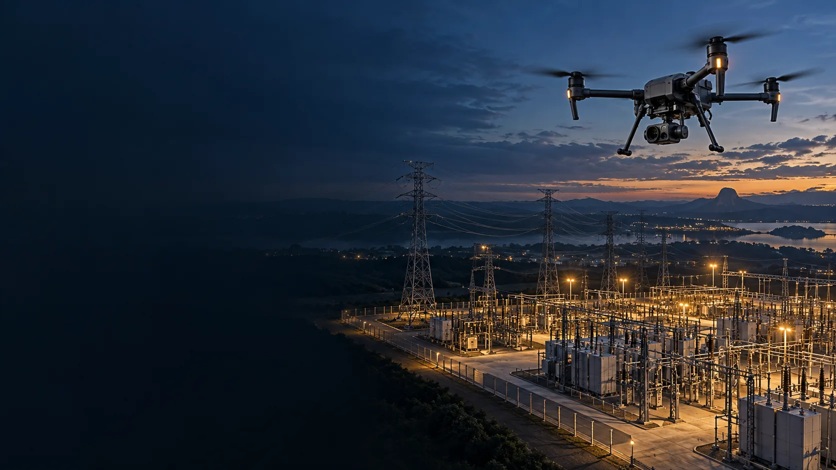
Visual and thermal inspection, mapping and drone monitoring to support maintenance, engineering and operations across large-scale environments.
Every project starts with the client's requirements. The team assesses the asset, environment, area and expected outcome to define the aircraft, sensors, capture plan and appropriate deliverables.
Technical records of structures, façades, roofs, power lines, substations, solar plants and hard-to-reach locations.
Request an inspection assessment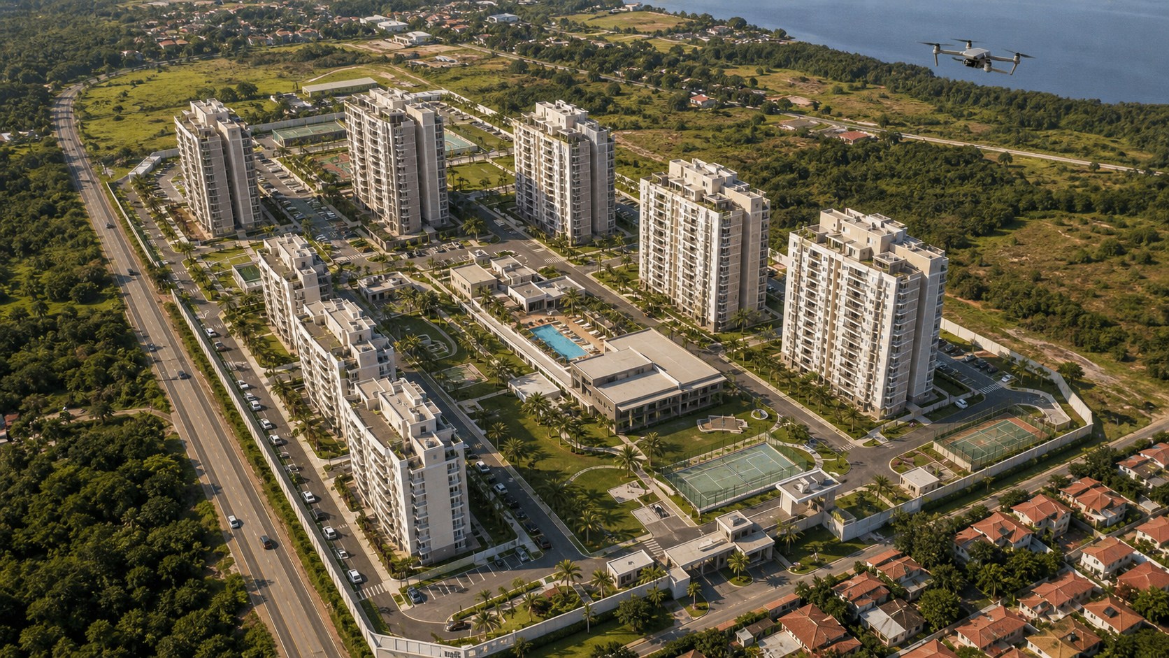
Spatial documentation for planning, inventory, construction monitoring and a clearer understanding of the site.
Request a mapping assessment
One-time or recurring missions for condominiums, perimeters, construction sites, assets and extensive corporate areas.
Request a monitoring assessment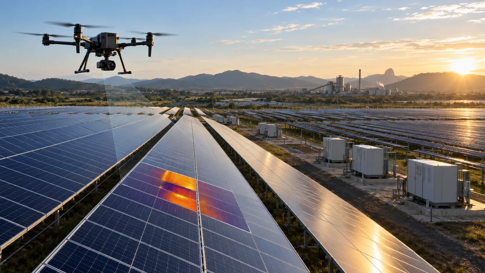
Prime Aerial designs each mission around the asset, required resolution, environmental conditions and expected level of analysis. Services may combine RGB capture, thermography, georeferencing, orthomosaics and recurring monitoring.
Share the project objective. PrimeSecure Aerial will assess the requirement and propose the appropriate configuration for inspection, mapping or monitoring.
Contact PrimeSecure Aerial